

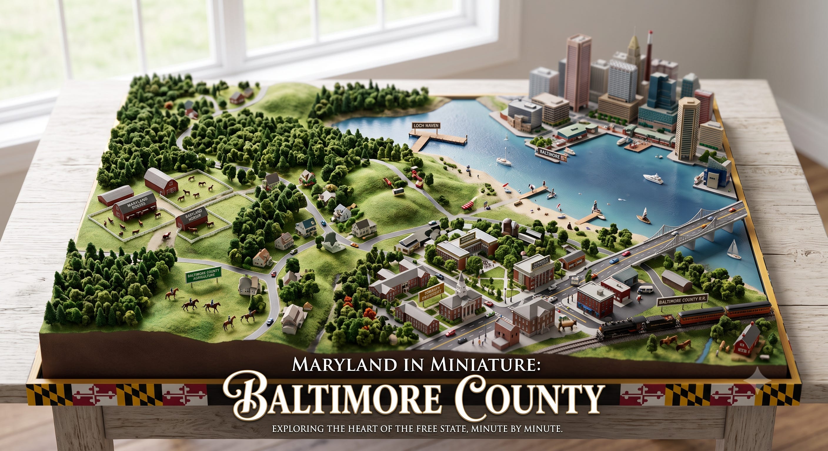
Maryland in Miniature: Why Baltimore County Is the Real Statewide Battleground
By Barry O’Connell
It is a comfortable habit among Maryland Democrats to look at the registration advantage, tally the suburban totals in Montgomery and Prince George’s, and quietly assume the general election is already put to bed. We sit back, fat and happy, convinced the numbers will carry the day.
That is a dangerous delusion. We haven’t won anything until the final ballots are tallied, and anyone doing real electoral math knows there is no path to the State House, a U.S. Senate seat, or the Comptroller’s office that doesn’t run straight down the Middle River, through Towson, and across the Liberty Road corridor.
If you don't win Baltimore County, you don't win Maryland.
The Electoral Blueprint: Why Baltimore County Matters
Look at the statewide mechanics. Republican candidates can run up massive totals on the Eastern Shore and across Western Maryland, but the sheer volume of voters simply isn't there to build a winning statewide coalition on rural turnout alone.
From Harford County down to the southern tip of the Eastern Shore, you are looking at a single congressional district—the 1st CD—and mapmakers still have to reach across the bay into Baltimore County just to hit the required population threshold. Out west, the 6th CD has to snake down out of Garrett, Allegany, and Washington counties into upper Montgomery just to equalize its numbers.
Seven of Maryland’s eight congressional districts sit solidly in the Democratic column under normal turnout models. To break that line, a statewide Republican candidate must execute a strict two-part playbook:
Maximize turnout across the conservative rural base.
Cut into Democratic margins in Prince George’s and Montgomery—or, at minimum, suppress turnout there.
Carry Baltimore County.
Without Baltimore County, the rural margins evaporate against the suburban wall of the Washington suburbs. It is the central gear in the state’s political clockwork.
STATEWIDE ELECTORAL MATH: THE THREE LEGS OF THE STOOL
[ Western MD & Shore ] [ MoCo & Prince George's ] [ Baltimore County ]
Max Rural GOP Margins + Suppress/Contain Blue + MUST WIN BELLWETHER
Statewide Margin (The Tipping Point)
A Microcosm of the Free State
Why does Baltimore County hold this bellwether status? Because demographically and geographically, it is Maryland in miniature.
It holds a little bit of everything that defines our state:
The Northern Agricultural Zone: Rolling farmland and deep conservative roots that feel virtually identical to Carroll, Harford, or the upper Shore.
The Blue-Collar Industrial Waterfront: Dundalk and Essex, mirroring the working-class, populist pockets of the state.
The High-Educated Suburban Belt: Towson, Catonsville, and Owings Mills, reflecting the progressive suburban voter base found in Howard or Montgomery.
The West-Side Powerhouse: Woodlawn, Randallstown, and Liberty Road, representing an influential, majority-Black voter base akin to Prince George’s County.
Growing Cultural Diversity: A vibrant, politically active Muslim voter base in Windsor Mill and Woodlawn, alongside long-established Jewish communities in Pikesville.
Demographically, the county hits the statewide proportions almost point-for-point—roughly 49% non-Hispanic White, 32% Black, 7% Asian, and 9% Hispanic. If a message resonates across Baltimore County, it will resonate across Maryland.
The Nine-Seat Council Fight and the Backroom Deal
Because Baltimore County mirrors the state, its internal political clashes carry statewide implications. Nowhere is this clearer right now than on the County Council, where the battle over district boundaries has laid bare the raw friction between racial representation, suburban self-interest, and partisan maneuvering.
Following the voter-approved expansion of the Council from seven seats to nine, the task of redrawing the county's political map turned into an ugly insider brawl.
Councilman Julian Jones (D-4) and local civil rights organizations fought for a map that reflected the county’s growing diversity by establishing strong opportunity districts for Black and minority voters. Instead, Councilmembers Izzy Patoka (D-2) and Mike Ertel (D-6) teamed up with the council's three conservative Republicans to push through an amended map—frequently dubbed "Version 4.0."
While marketed under the banner of expansion, critics, including the ACLU of Maryland and the Randallstown NAACP, argued the Patoka-Ertel map did something far more cynical: it cracked historic Black neighborhoods along the west side, splitting communities like Randallstown and Lochearn into separate districts.
By diluting minority voting strength on the west side, the map accomplished two things:
It protected incumbent suburban strongholds.
It handed the three Republican councilmembers carved-out districts they could comfortably defend.
It was a classic underhanded trade—bipartisan self-preservation disguised as compromise.
The Legal Bomb: Enter the Maryland Voting Rights Act
That deal, however, may have opened Baltimore County up to immediate legal exposure.
On April 28, 2026, Governor Wes Moore signed into law the Maryland Voting Rights Act (MVRA). Enacted via Senate Bill 255, the MVRA equips local citizens and civil rights groups with a powerful weapon in state court:
Prohibition on Vote Dilution: The law explicitly forbids local jurisdictions—counties, municipalities, and school boards—from adopting district maps or election systems that dilute or impair the voting power of protected racial or language minority groups.
No Federal Hurdle Required: Plaintiffs no longer need to jump through the higher, increasingly restrictive hurdles of federal Section 2 litigation. They can challenge map-drawing directly under Maryland state law.
Private Right of Action & Fee-Shifting: Crucially, the MVRA allows private citizens and community groups to sue local governments directly. If the plaintiffs win, the court can compel the county government to pay all attorney’s fees and litigation costs.
By cutting a map that splits west-side minority communities to safeguard council seats, the council majority didn't just play dirty politics—they created a prime target for the first major test case under the new Maryland Voting Rights Act. Taxpayers could soon be footing a substantial legal bill to defend a map drawn to protect politician preferences over fair representation.
The Bottom Line
We cannot treat Baltimore County as an afterthought or assume statewide turnout defaults to a Democratic win.
Whether examining the high-stakes electoral math of statewide campaigns or analyzing the legal battles brewing over local council seats, Baltimore County remains the central mirror of Maryland politics. What happens in Towson and Pikesville today foreshadows what will happen across the entire state tomorrow—and Democrats ignore that reality at their own peril.