

Cutting Out the Middleman: How Annapolis Just Handed Local Builders a Key to the Vault
By Barry O’Connell
The Maryland Wire • Governance & Economic Development
Pull up a chair on the porch for a minute, because we need to talk about how things actually get built—or more often, don’t get built—in Maryland. If you’ve spent any time around county planning offices or community meetings from Salisbury to Cumberland, you know the drill. A local church wants to turn an empty lot into a day care. A non-profit wants to put six units of affordable housing on an old commercial parcel. They’ve got the passion, they’ve got the community backing, and they’ve got a clear need. But before they can dig a single shovel into the dirt, they hit the wall: the feasibility study.
For decades, the path from a good idea to a shovel in the ground has run directly through a small army of specialized consultants. You need $15,000 for a preliminary land-use review. Another $20,000 for a grant-stacking consultant who knows where the DHCD money is hidden. Add in environmental flags, municipal zoning overlaps across 96 separate towns, and water access checks, and you’ve burned $50,000 of hard-earned capital just to find out whether you’re allowed to build a parking lot. The deep-pocketed regional developers treat that as pocket change. The local community builder gets choked out before page five of the proposal.
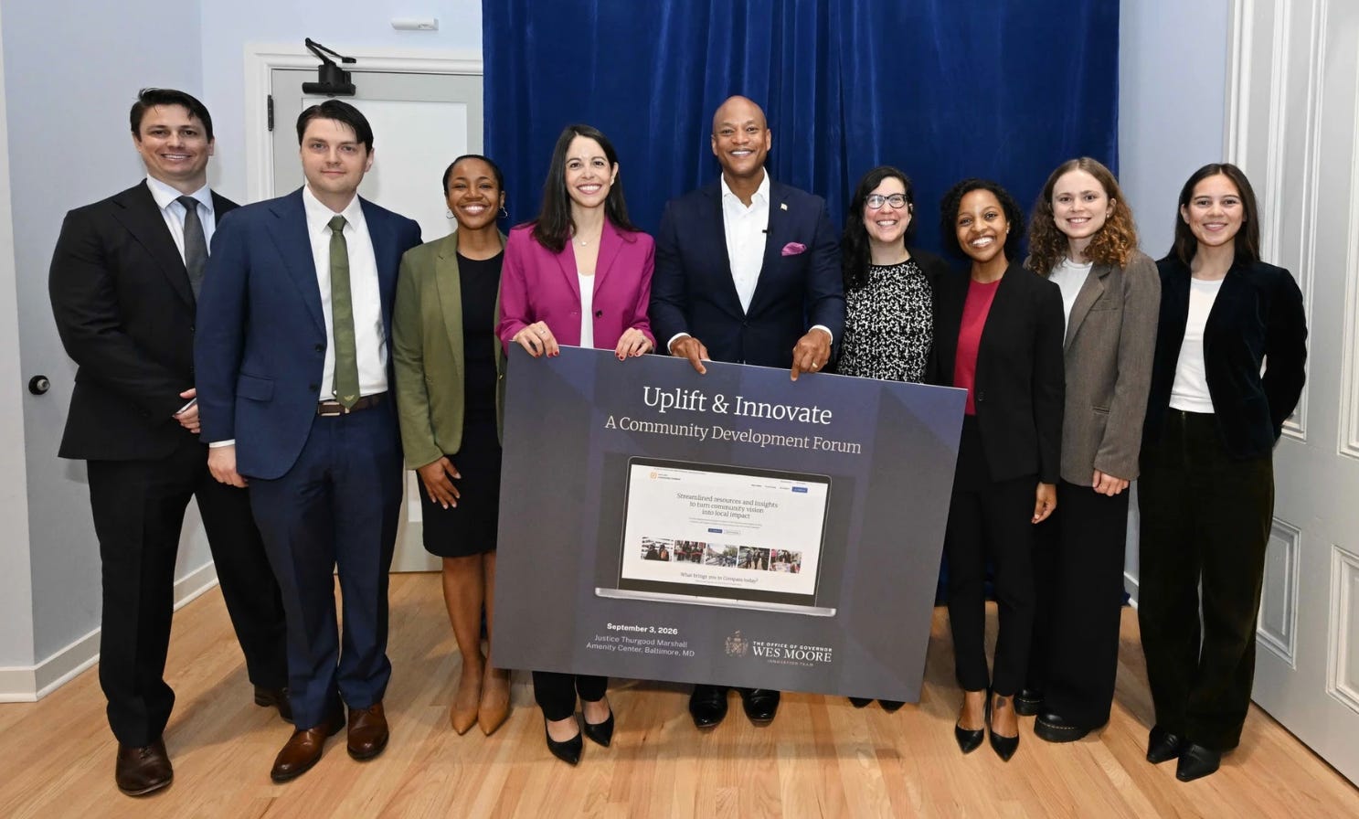
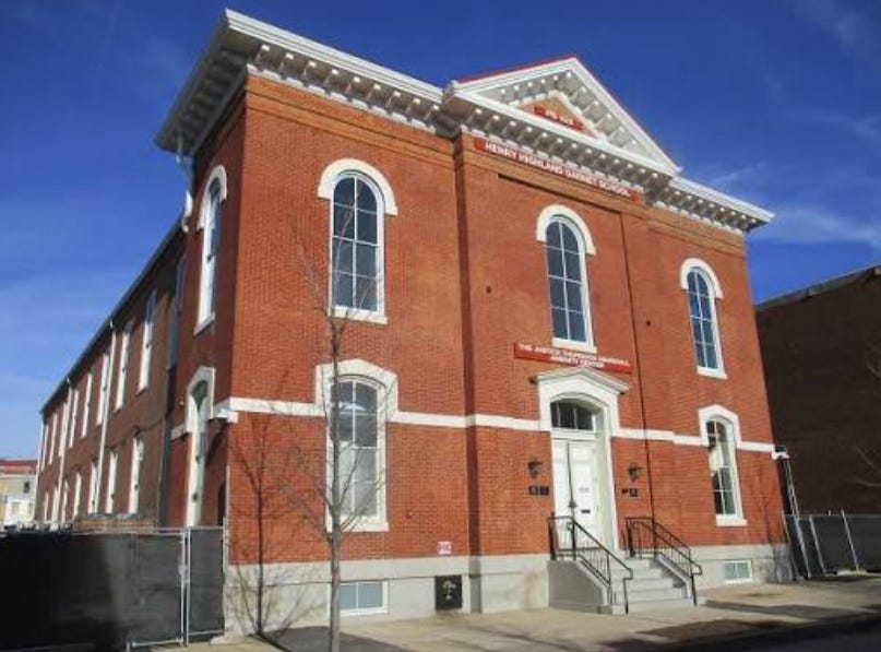
That is why today’s (Thursday, September 3, 2026) announcement out of the Thurgood Marshall Amenity Center in Upton caught my eye. Governor Moore and Chief Innovation Officer Francesca Ioffreda rolled out the expanded Maryland Community Compass. On the surface, it reads like classic Annapolis press-release speak—words like “ecosystem,” “data insights,” and “capacity.” But if you peel back the slick PR coating, something far more radical is taking shape underneath.
The state worked with Anthropic to stitch together public datasets from all 23 counties and 96 municipalities into a single parcel-level engine. You type in an address anywhere in Maryland, and in one click, you get zoning permissions, environmental overlays, tax incentives, and the exact state and local grants that fit that specific parcel. In plain English: Annapolis just took the proprietary map that high-priced site consultants charge twenty grand to draw up and put it on the public table for free.
Now, I’ve been around state politics and IT architecture long enough to know that a shiny dashboard doesn’t fix a broken system overnight. But when government software actually reduces friction for the little guy while making the big-money gatekeepers uncomfortable, it’s worth our attention. This isn’t just a tech upgrade—it’s a fundamental disintermediation of the development consulting ecosystem.
🔒 INSIDE THE HOUSE • PAID SUBSCRIBER ACCESS BELOW
